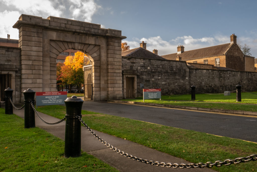
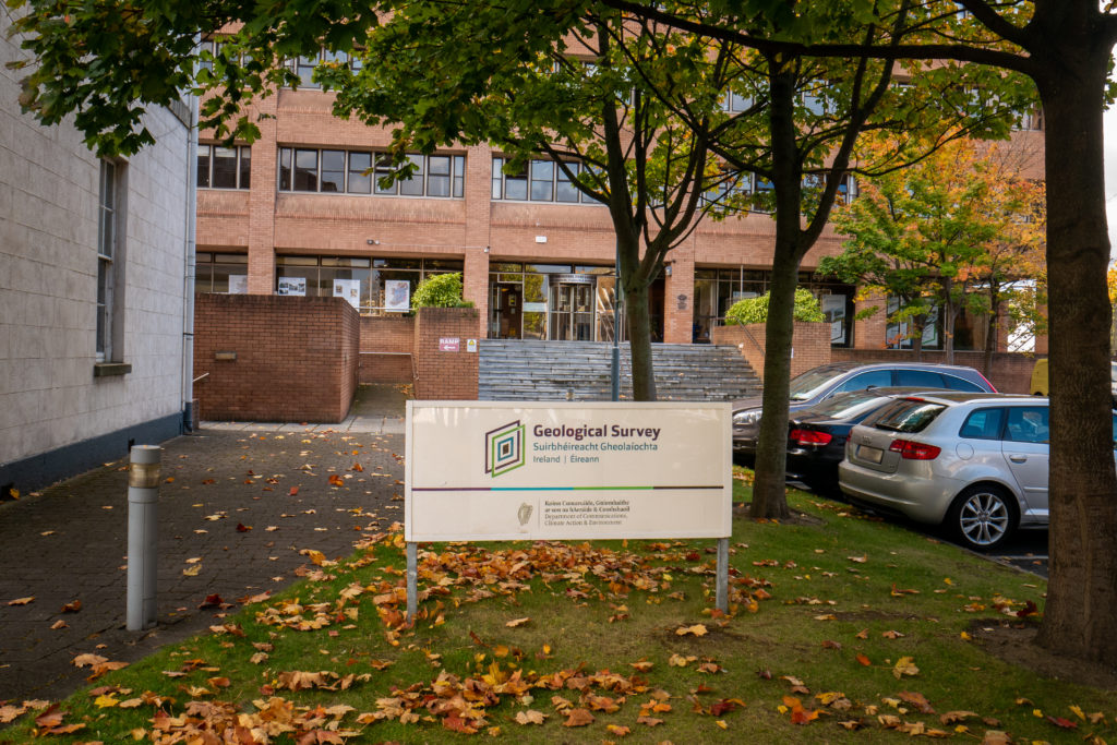
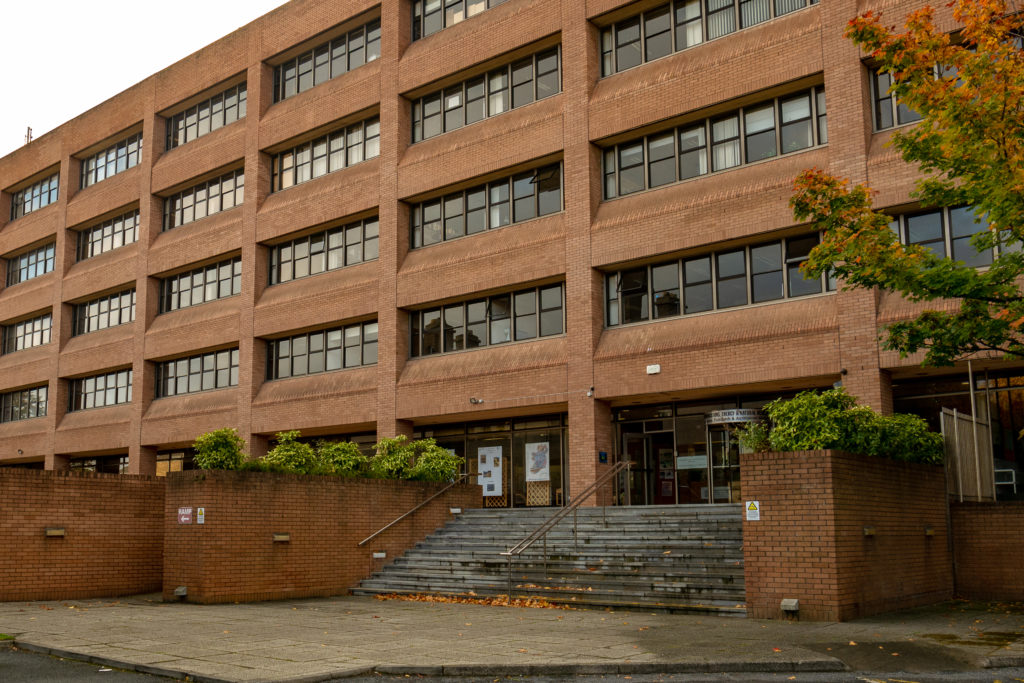
In October, we went to the GSI offices in Dublin to meet with members of the groundwater team. There we learned about the history of the GSI’s involvement in studying and mapping zones of contribution (ZOCs) for group water schemes with groundwater sources. We also had a basic introduction to karst features and karst landscapes and saw how the GSI is using GIS and geospatial tools to represent and analyze these features.
a research project connecting water, infrastructure, and people


